Driving Efficiency: HERAtech™ cuts desktop study from 6 months to just 2
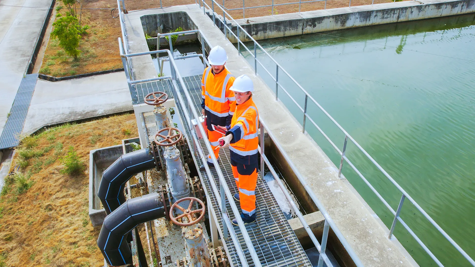
Following a request to support potential future water supply needs, HERAtech may need to build an ~11km trunk main to reinforce infrastructure in the Bolagna region.
7
routing scenarios developed.
66%
reduction in planning time.
<30
minutes taken to reiterate scenarios.
HERAtech needed a way to explore more route options in detail without the manual workload that limits early design choices on complex projects.
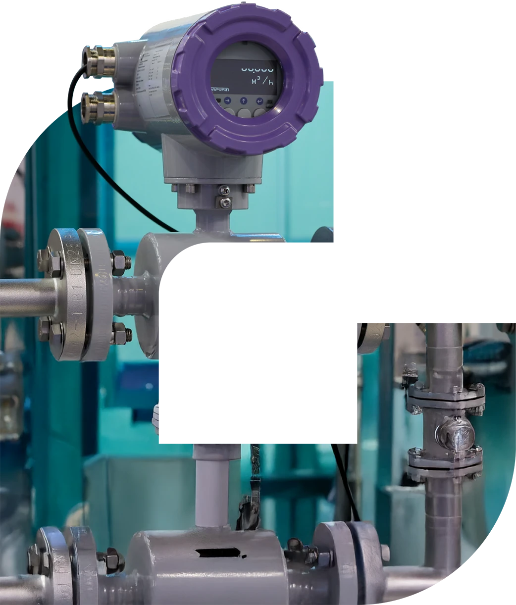
HERAtech is the engineering and technical services arm of Gruppo HERA, responsible for the design, expansion, and modernisation of over 35,000 kilometres of water networks.
Early desktop studies are highly resource-intensive and rely heavily on expert judgement, requiring months of manual exploration and iteration between teams.
Large trunk mains - such as the one planned for this project - are especially complex, with numerous social, environmental, and technical constraints. Traditional methods make it virtually impossible to explore every feasible solution in detail.
The process
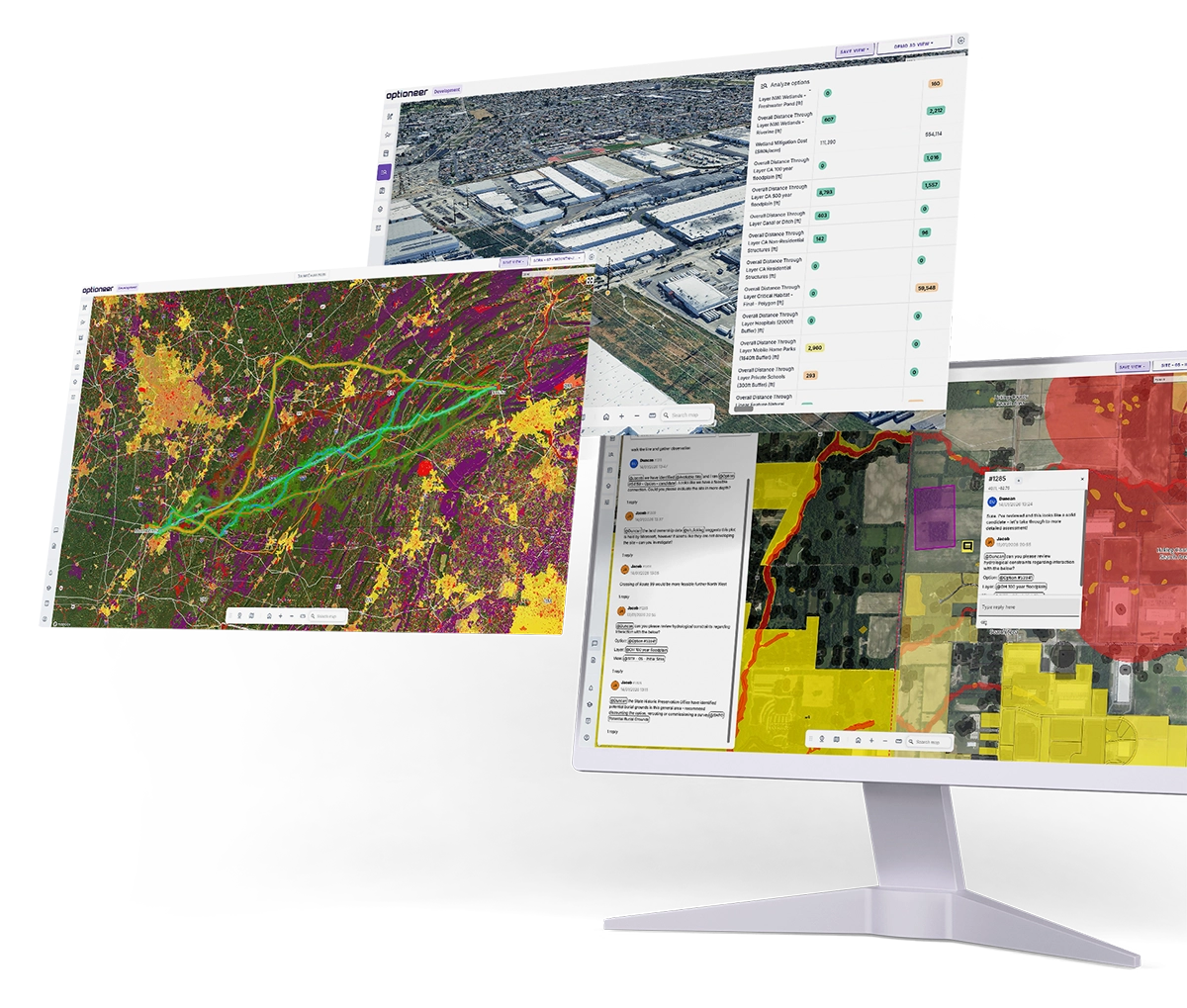
Optioneer was used to assess routing options for an ~11 km trunk-main corridor west of Bologna. The pipeline had 3 connection points, from a Source Point A, through an existing connection point approximately in the middle of the trunk main scheme Way Point B, towards an Output Point C.
The team ingested project-specific GIS datasets, combining HERA’s internal layers with national and open data sources. Layers were scored using a 5-tier difficulty scale, across two categories: permitting/environmental and technical/cost.
Over 20 custom metrics were defined to reflect key engineering and delivery factors, including; social, environmental, trenching vs. NO-DIG (e.g. auger bore, HDD, microtunnelling), programme drivers, hydraulic performance, and crossing complexity.
The team worked in short, focused sessions, using a repeatable workflow: refining constraints, generating heatmaps, automatically producing pareto-optimal routes, importing or sketching HERA design variants, and comparing them across configured scenarios.
All work was shared through geo-tagged comments, saved map views, and exportable visuals, supporting discussion and internal alignment.
The results
Seven routing scenarios were developed and assessed in detail across technical, cost, and permitting criteria - significantly more detail than could typically be explored at this stage.
Early-stage route exploration was completed in ~2 months, representing a ~66% reduction in the expected timeline. With scenario iterations completed in under 30 minutes and metrics recalculated in even less time.
No-Go zones and high-penalty areas were identified early, reducing the risk of costly rework later in the process.
Two engineers became confident users of Optioneer within two weeks, with minimal training and no reliance on GIS specialists. Future projects are expected to progress even faster due to setup reuse and reduced onboarding requirements.
Iteration time reduced significantly.
Improved decision making through multi-criteria analysis & comparisons.
Risks identified early by screening of key constraints.
Optioneer enabled us to efficiently compare multiple design alternatives by rapidly generating and evaluating routing scenarios to inform key decisions. Overall, Optioneer saved time and improved the quality of our analysis, which was particularly helpful on this project as it required alternative comparisons for permitting and tender documentation.
Have you got a similar project to deliver?
Reach out today and see how Optioneer can help streamline your project planning and development.
Related success stories
We’ve had the pleasure of working with global leaders in the utilities industry, find out how they achieved results with Optioneer.


We will be in touch with you shortly.